REFERANSLAR
ABOUT US
CONTACT
English
Türkçe
GRAVÜR DÜNYASI
Digital Engraving Library
HOME
PRINTS
MAPS
HOME
›
Maps
›
Turkey
🇹🇷 Türkçe →
GHA5101NN
View Fullscreen
For high resolution images,
please contact us
.
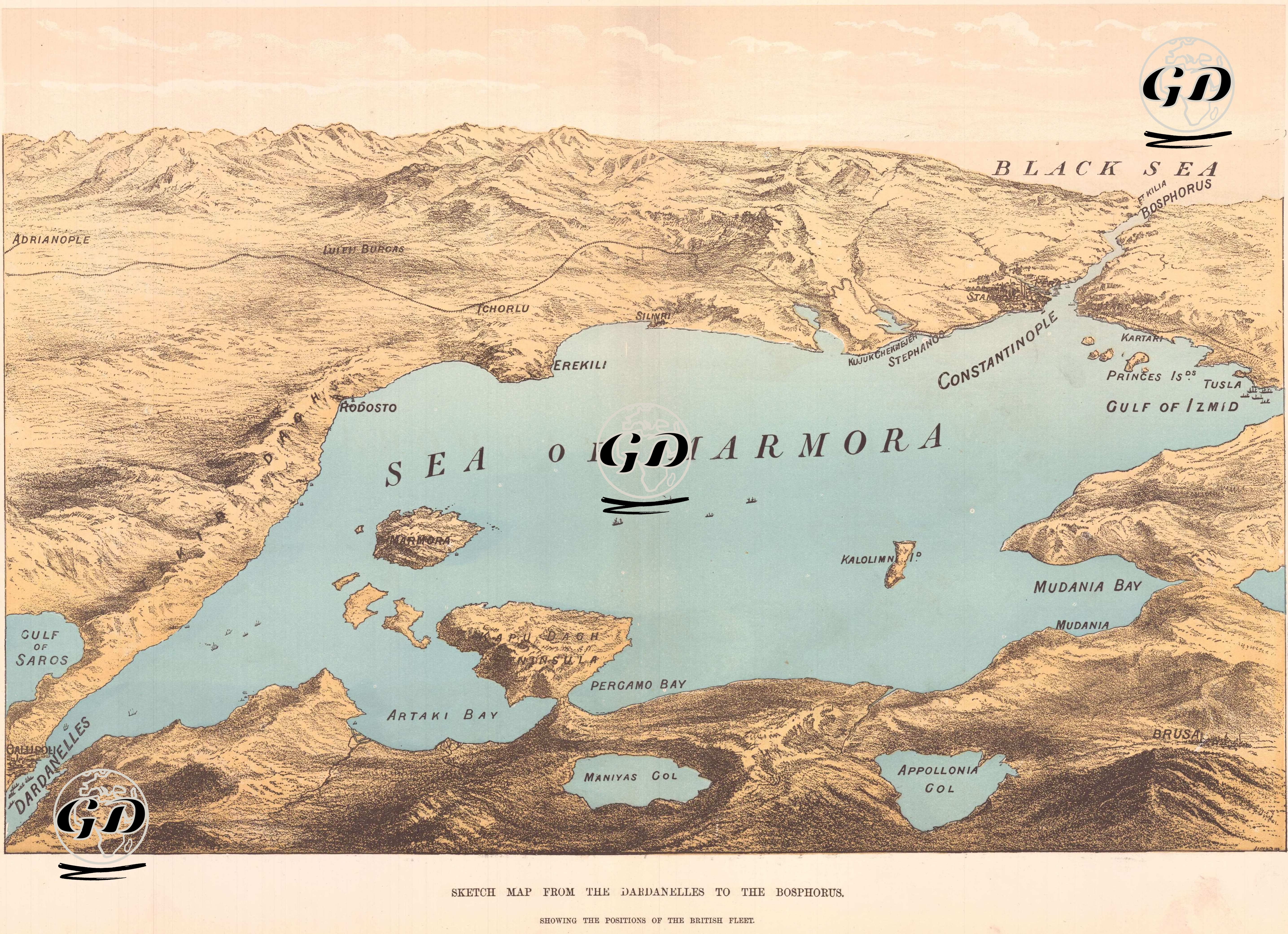
Sketch Map From The Dardanelles To The Bosphorus, Showing the Positions of the British Fleet
Date
1878
Technique
Woodblock Engraving (Newspaper)
Category
Maps
Source
The İllustrated London News (March 09 1878)
Sketch Map From The Dardanelles To The Bosphorus, Showing the Positions of the British Fleet
Antique Print
19.Century
1878
Map
Country
Turkey
Sea Of Marmara
Military
1877-1878 Ottoman-Russian War