GRAVÜR DÜNYASI
Digital Engraving Library
| Artist | James Playfair (1738-1819) |
| Engraver | H.Cooper |
| Date | 1814 |
| Technique | Copper engraving |
| Category | Maps |
| Source | A New General Atlas, Ancient and Modern by James Playfair |
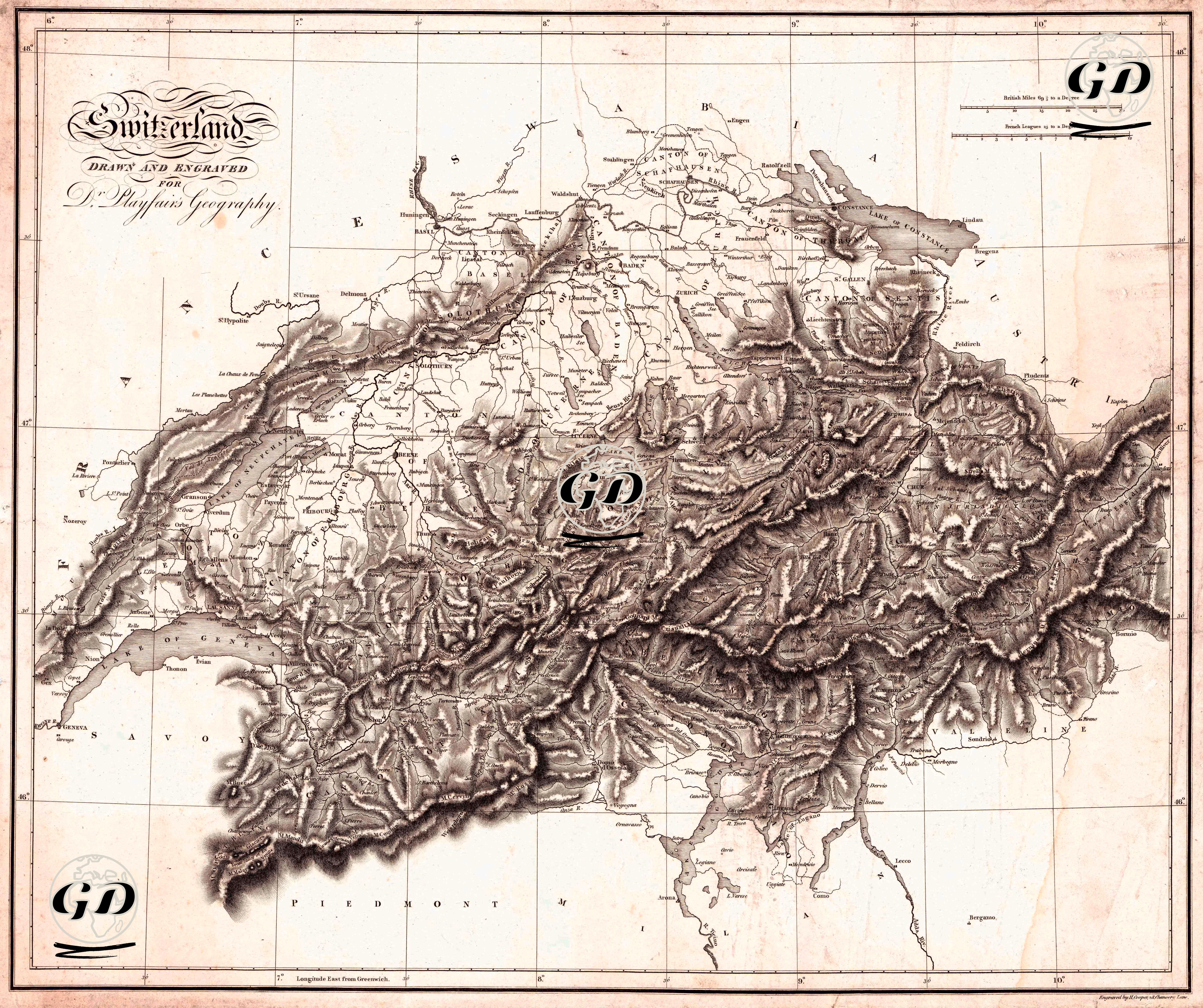
Prepared in 1814 for Dr. Playfair’s Geography, this 54 × 46 cm map presents Switzerland, along with its neighboring regions (France, German states, Austria/Italy), in a way that facilitates reading at the cantonal scale. The map's cartographic language conforms to the atlas tradition of the early 19th century. The latitude-longitude grid, scale bars at the top (British Miles-Leagues type measurements according to degrees), and relief modeled with dense hachure (hatching-shading) visually highlight the main ridges of the Alps, valleys, and pass zones. The lake system (Geneva-Leman, Neuchatel, Biel, Lucerne, Zurich, Konstanz, etc.) and major river lines relate the settlement network to natural thresholds. The clear writing of the canton names makes the map a resource for reading Switzerland not only as a physical geography but also as an administrative and political space. Switzerland's position as a "mountain core" within Europe and its areas of contact with surrounding forces (particularly the Jura, Mittelland, and Alpine belts) have been made visible.