GRAVÜR DÜNYASI
Digital Engraving Library
| Artist | James Playfair (1738-1819) |
| Engraver | H.Cooper |
| Date | 1814 |
| Technique | Copper engraving |
| Category | Maps |
| Source | A New General Atlas, Ancient and Modern by James Playfair |
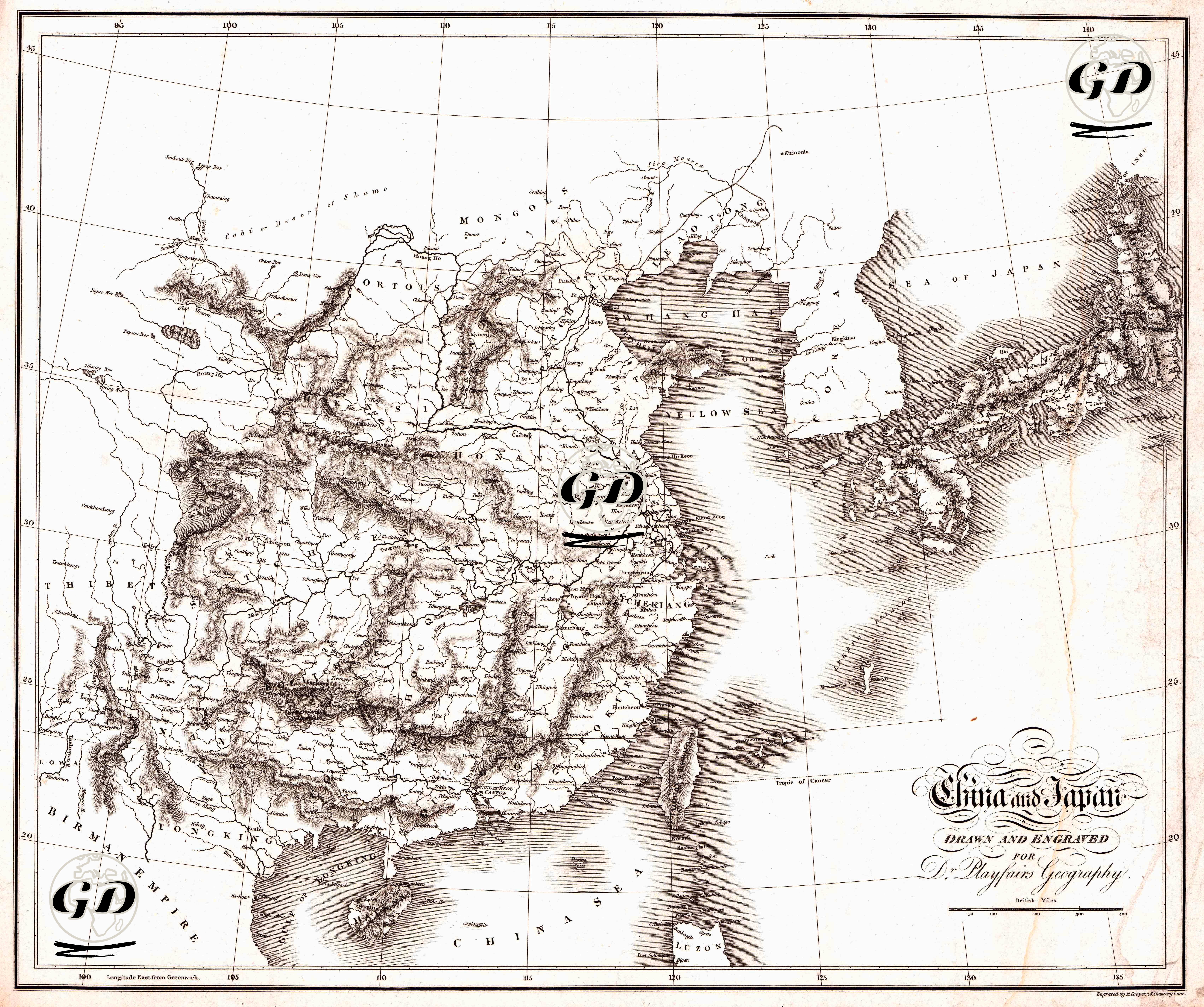
This engraved map, prepared in 1814 for Dr. Playfair’s Geography, is a geopolitical and physical map measuring 54 × 46 cm. The map is a colorless print and depicts landforms using hachure (hatching and shading). This makes the mountain ranges and basin-sill relationships in the interior of China visually legible. The map is shown using a longitude and latitude network relative to Greenwich. While the Chinese coastal strip, the Korean peninsula, and the Japanese archipelago are treated as a whole, regional designations common in European cartography of the time (e.g., Thibet, Mongo, etc.) are noticeable in the interior regions. The Yellow Sea and the Sea of Japan are clearly marked.