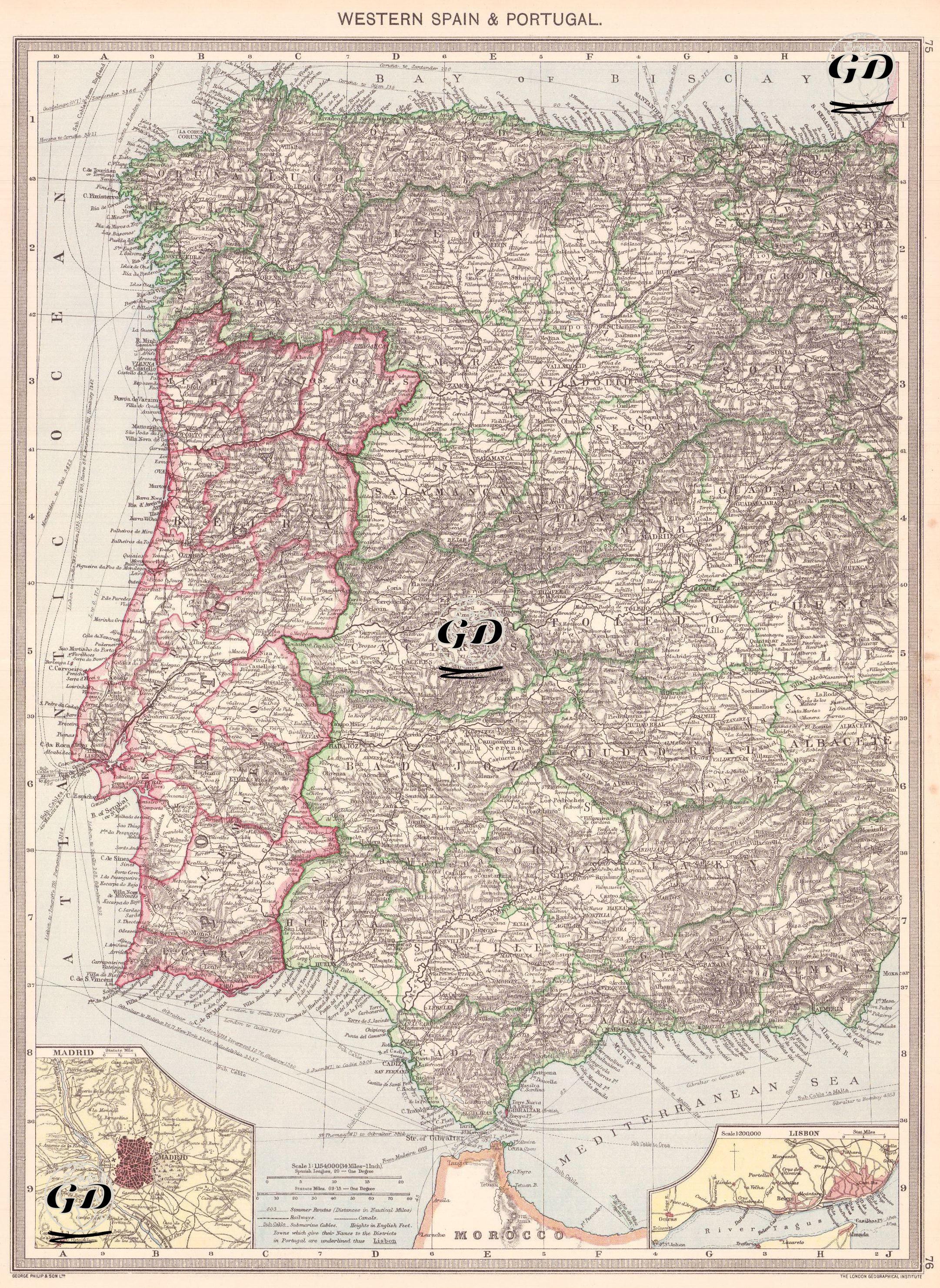
GRAVÜR DÜNYASI
Digital Engraving Library
| Date | 1920 |
| Technique | Offset Lithography |
| Category | Maps |
| Source | The Harmsworth Universal Atlas and Gazetteer - George Philip & Son, London & Liverpool - The London Geographical Institute |
A detailed topographical map depicting the western part of the Iberian Peninsula including Portugal and western regions of Spain, highlighting rivers, railroads, cities and regional borders. Insets show detailed plans of Madrid and Lisbon.