GRAVÜR DÜNYASI
Digital Engraving Library
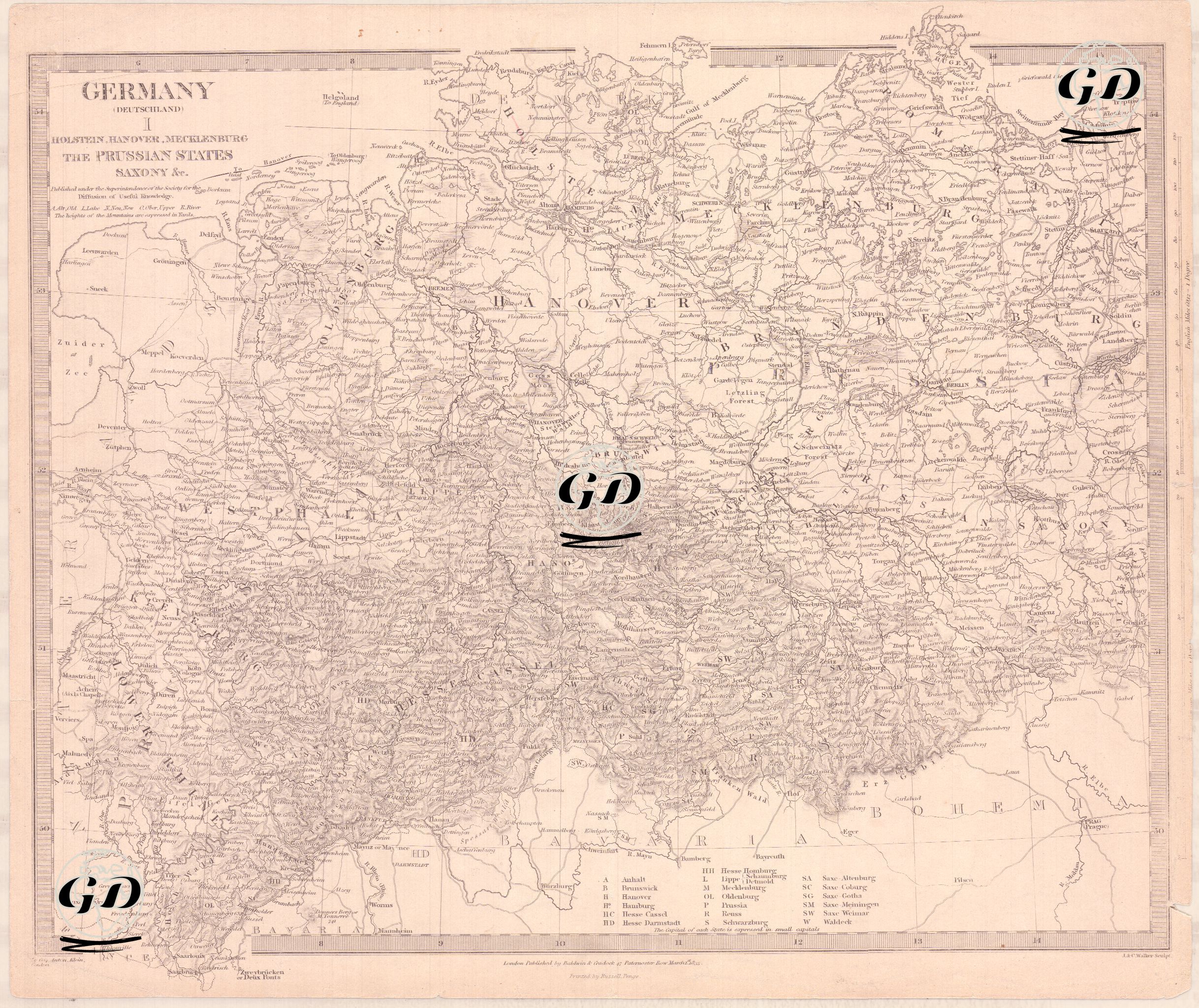
| Engraver | J. & C.Walker (Active 1820-1895) |
| Date | 1833 |
| Technique | Copper Engraving |
| Category | Maps |
| Source | Published Under the Supervision of the Society for the Diffusion of Useful Knowledge (SDUK)-London, Published by Baldwin & Cradock 47 Paternoster Row, March 1 1833 |
The map is a detailed drawing showing the political structure and geography of Germany in the 1830s. In Germany, which was not yet united, it shows the independent German states and their borders, such as the Kingdom of Prussia, Saxony, Hanover, Mecklenburg and Holstein. This shows how the geography of Germany became a mosaic after the collapse of the Holy Roman Empire. Geographically, the map extends to the North Sea and the Baltic Sea in the north, to the present-day Polish borders in the east, to Switzerland and Austria in the south and to the French border in the west. Major rivers such as the Rhine, Elbe and Oder are depicted in detail. In addition, railway lines and important military garrisons are indicated on the map. This map was prepared by SDUK (Society for the Dissemination of Useful Knowledge) for educational purposes.