GRAVÜR DÜNYASI
Digital Engraving Library
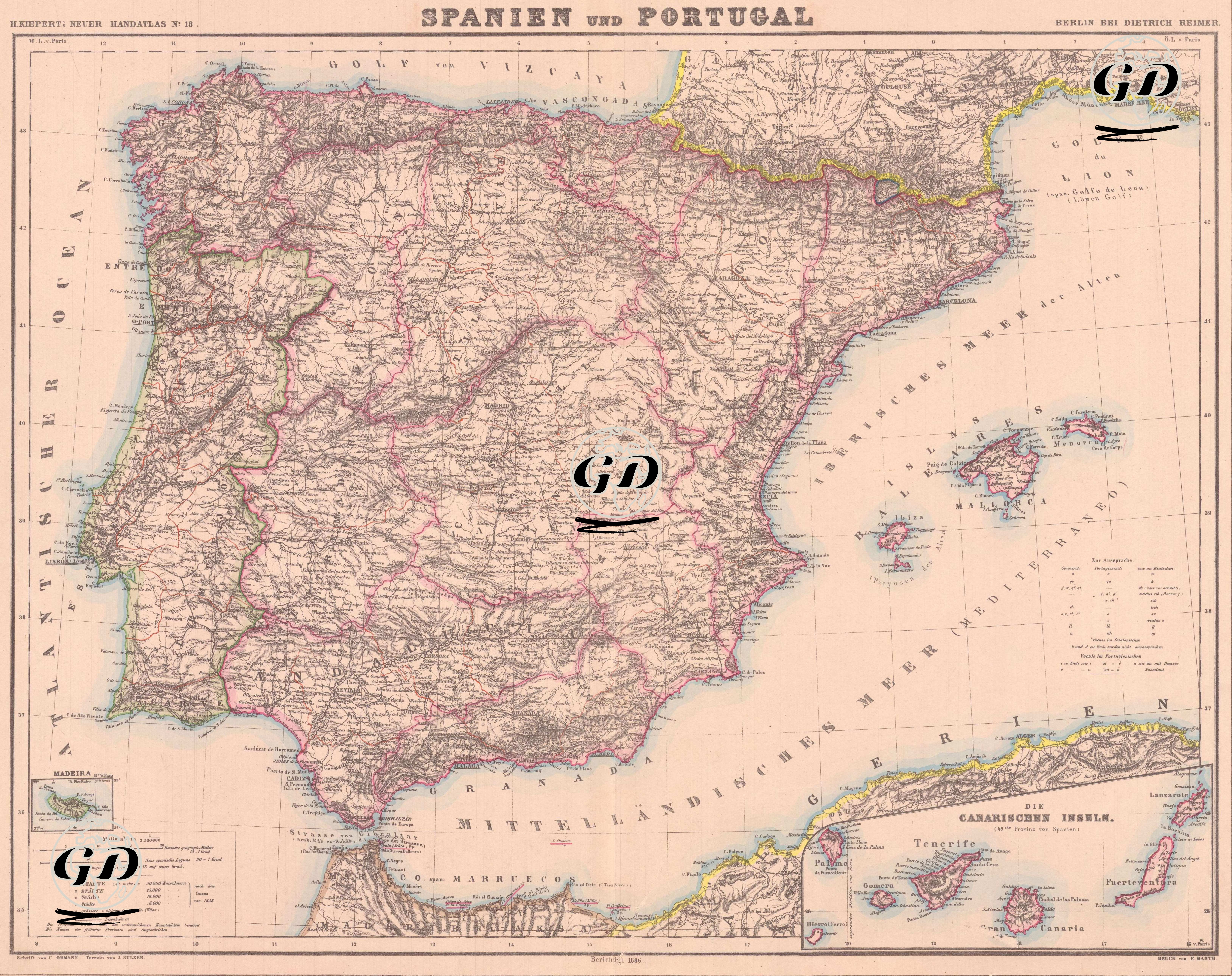
| Artist | Heinrich Kiepert (1818-1899) |
| Date | 1886 |
| Technique | Lithography-Colored |
| Category | Maps |
| Source | H. Keipert's Neuer Hand-Atlas No. 12, Verlag von Dietrich Reimer, Berlin |
This detailed map, published in German by the Dietrich Reimer publishing house in Berlin in 1886, shows the Iberian Peninsula, encompassing Spain and Portugal, together with the Balearic Islands, the Canary Islands, and the related islands of Madeira. Historical regions of Spain, such as Aragon, Catalonia, Castile, and Andalusia, and all of Portugal's provinces from north to south are presented in topographic detail. Natural features such as the Pyrenees, Sierra Nevada, Ebro, and Guadalquivir rivers are emphasized on the map, while important cities such as Madrid, Lisbon, Seville, Zaragoza, and Porto are also detailed.