GRAVÜR DÜNYASI
Digital Engraving Library
| Date | 1907 |
| Technique | Chromolithograph |
| Category | Maps |
| Source | The London Geographical Institute, London; Published by The Amalgamated Press Ltd. |
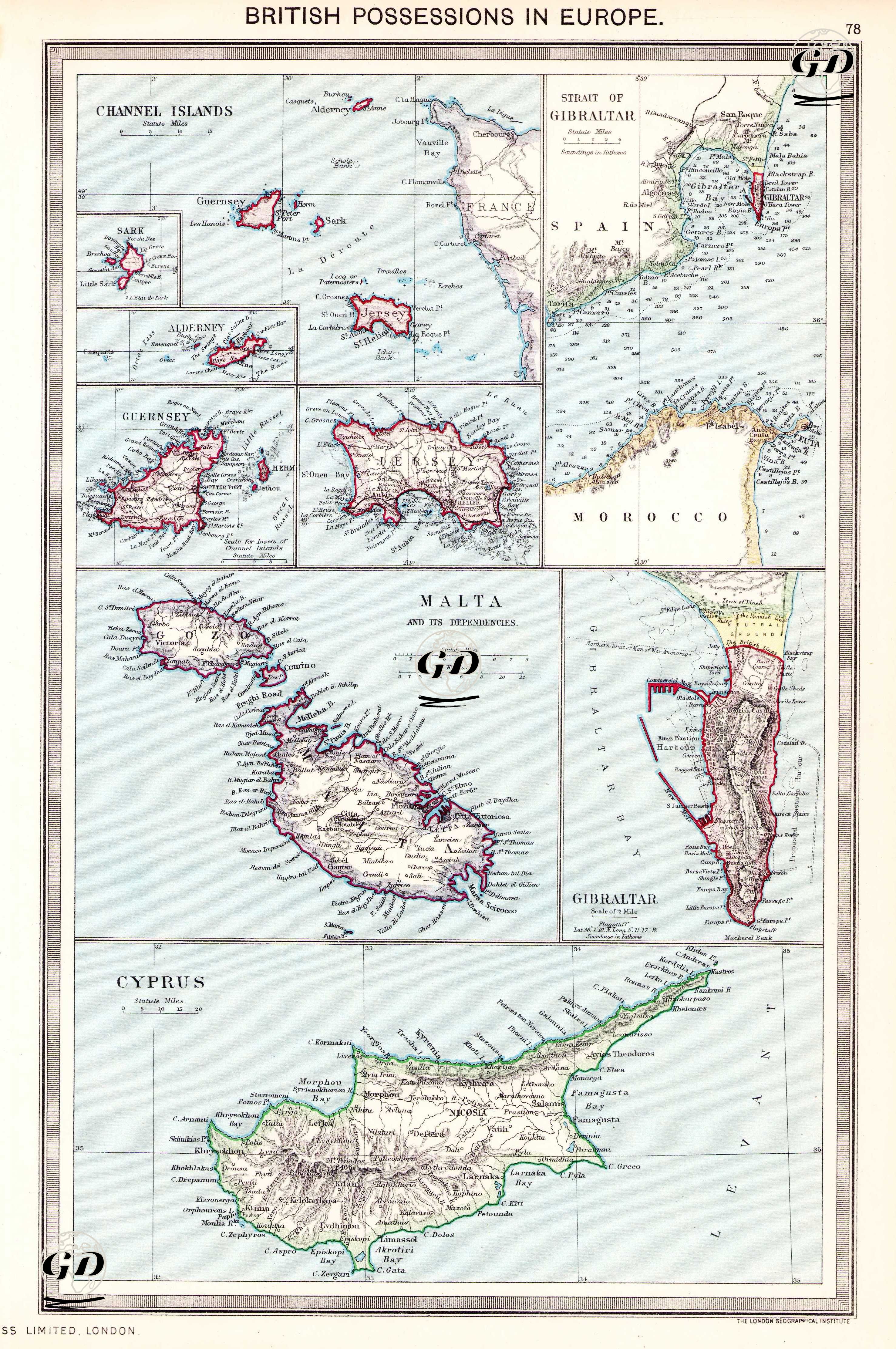
This map is a multi-part study of Britain's strategic holdings in Europe in the early 20th century and is entitled 'British Possessions in Europe'. The map shows the Channel Islands (Guernsey, Jersey, Sark and Alderney), the Straits of Gibraltar and the detailed Gibraltar area, Malta and its dependent islands, together with the island of Cyprus, in separate boxes. Each area reflects Britain's geopolitical interests in military and naval power, with particular emphasis on Gibraltar, Malta and Cyprus as important bases for the British Navy. Published by The London Geographical Institute, the map is of political and geographical importance, with its boundary lines and topographical details.