GRAVÜR DÜNYASI
Digital Engraving Library
| Engraver | Edward Weller (1819-1884) |
| Date | 1874 |
| Technique | Steel Engraving |
| Category | Maps |
| Source | The Public Schools Atlas of Modern Geography in 31 Maps. Exhibiting Clearly the More Important Physical Features of the Countries Delineated and Noting All the Chief Places of Historical, Commercial, or Social Interest; Rev. George Butler - London: Longmans & Co. |
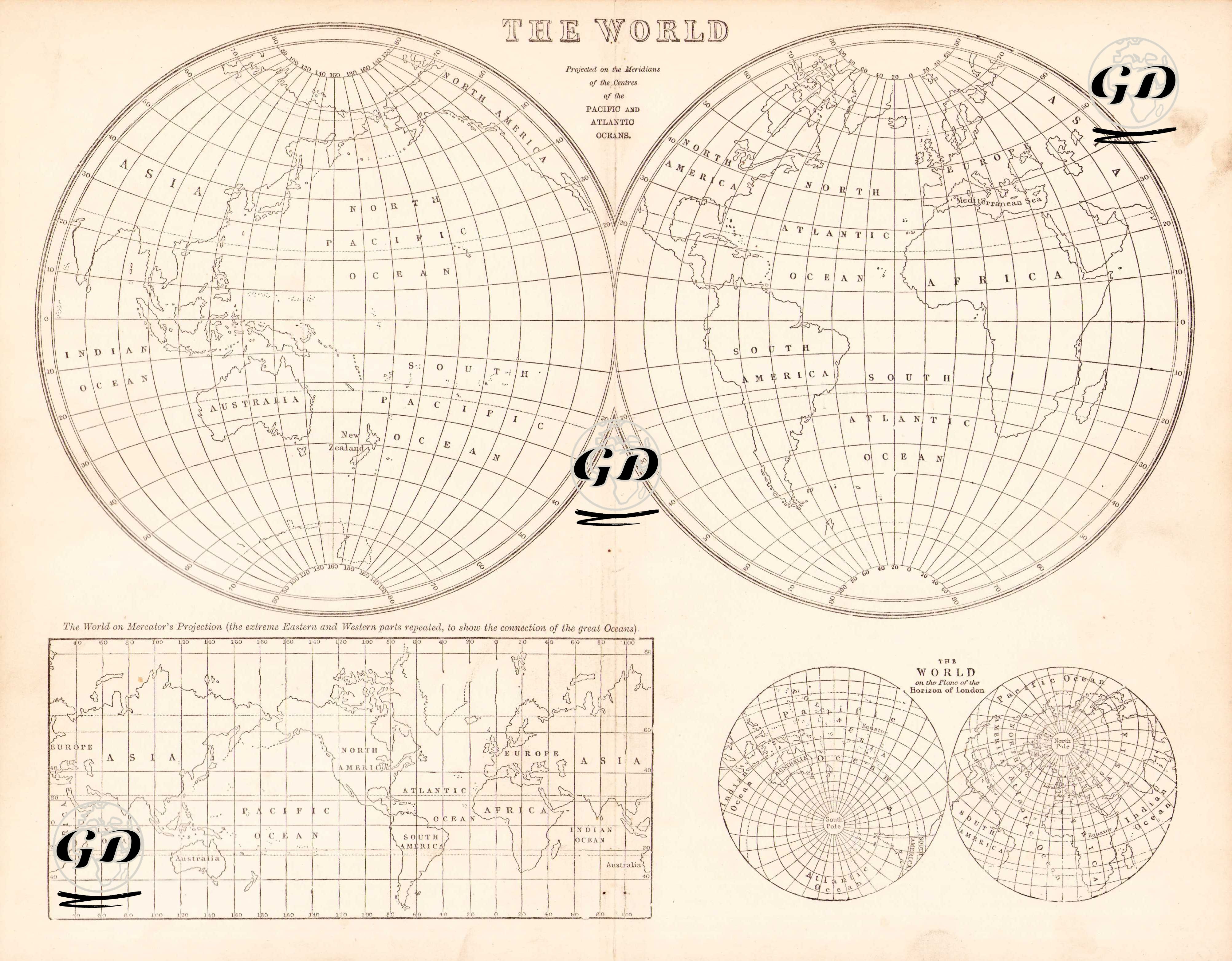
The map provides a comparative representation of how the world is represented by various projections. In the upper part, there are two separate hemispherical projections, one centered on the Pacific Ocean and the other on the Atlantic Ocean. This representation makes it easier to understand the relative positions of the continents and oceans. In the lower part, there is a long rectangular world map drawn with the Mercator projection; the continuity of the major oceans is emphasized by repeating the eastern and western ends. In the lower right corner, there are circular projections centered on the north and south poles, and London is used as a reference point in these projections. Instead of detailed political borders, the names of the continents and oceans are shown with a simple drawing, and the focal point is a comparison of projection differences, scale deviations and pole-hub relationships.