GRAVÜR DÜNYASI
Digital Engraving Library
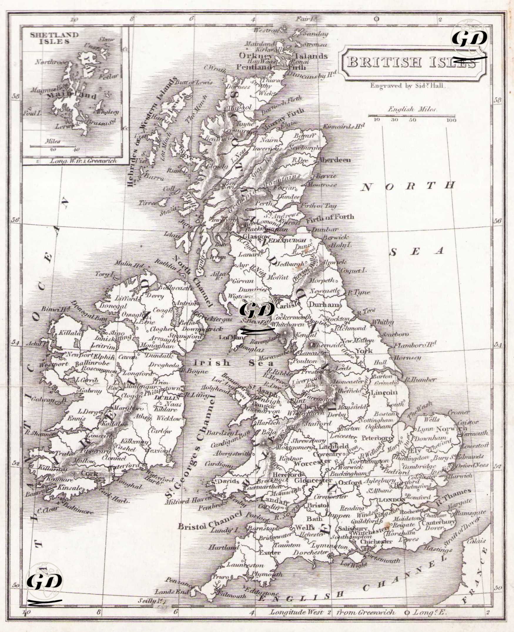
| Artist | Sidney Hall (1788-1831) |
| Engraver | Sidney Hall (1788-1831) |
| Date | 1820's |
| Technique | Copper Engraving |
| Category | Maps |
This 19th-century engraved map of the British Isles depicts England, Scotland, Ireland, and Wales along with surrounding waters such as the North Sea, Irish Sea, and the English Channel. It features political boundaries, major cities (London, Edinburgh, Dublin), rivers, and topographic details like mountain ranges and coastal contours. The inset of the Shetland Isles in the top left emphasizes geographical comprehensiveness.