GRAVÜR DÜNYASI
Digital Engraving Library
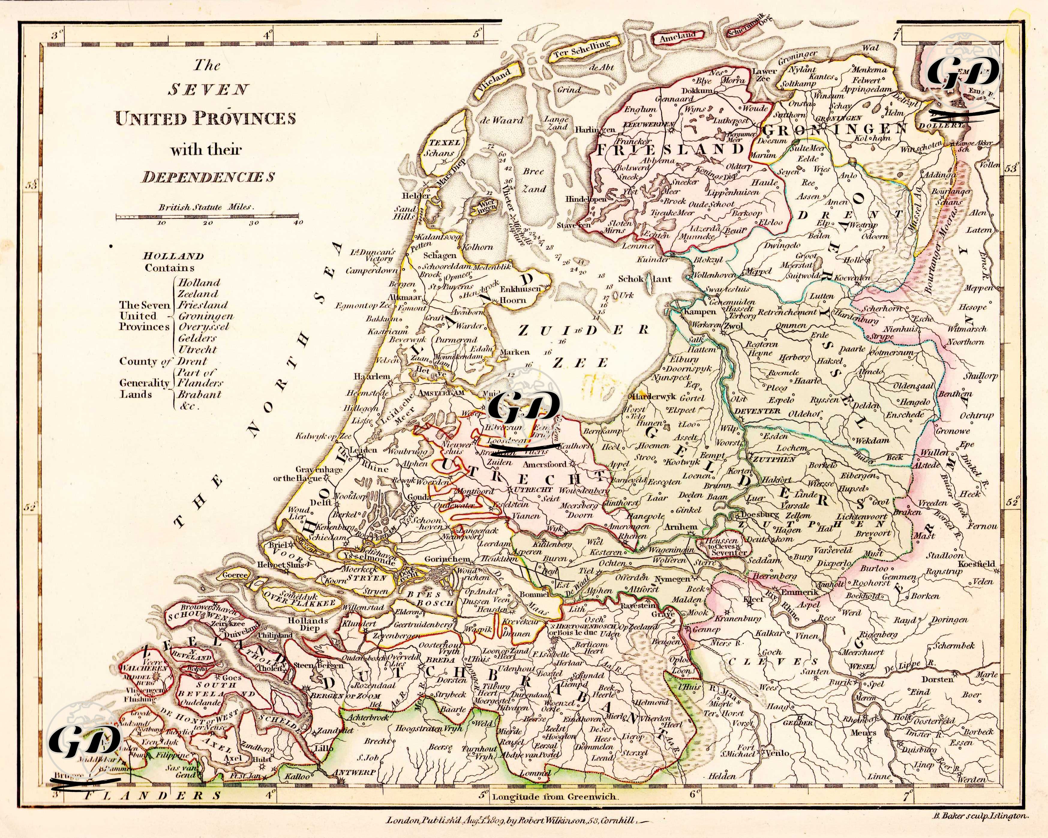
| Artist | Robert Wilkinson (active 1758-1825) |
| Engraver | Benjamin Baker (1766-1841) |
| Date | 1809 |
| Technique | Copper Engraving-Original Hand Colored |
| Category | Maps |
| Source | Wilkinson's General Atlas of the World - Quarters Empires Kingdoms States &C with Appropriate Tables By Robert Wilkinson, London, 2nd Edition - London, Published Aug. 1st 1809, by Robert Wilkinson, 58 Cornhill, London |
Published in London in 1809 by Robert Wilkinson, this engraving shows in detail the Seven United Provinces of the Dutch Republic (Holland, Zeeland, Friesland, Groningen, Overijssel, Gelderland, Utrecht) and the dependent territories (Brabant, Drenthe, Flanders) that were directly under the control of the central government and not full state status, marked as the "Generalitat Lands". The map reflects the period before the separation of Belgium. This hand-coloured map is not only a geographical depiction, but also an important engraving of the functioning of the concept of a federal republic in early modern Europe.