GRAVÜR DÜNYASI
Digital Engraving Library
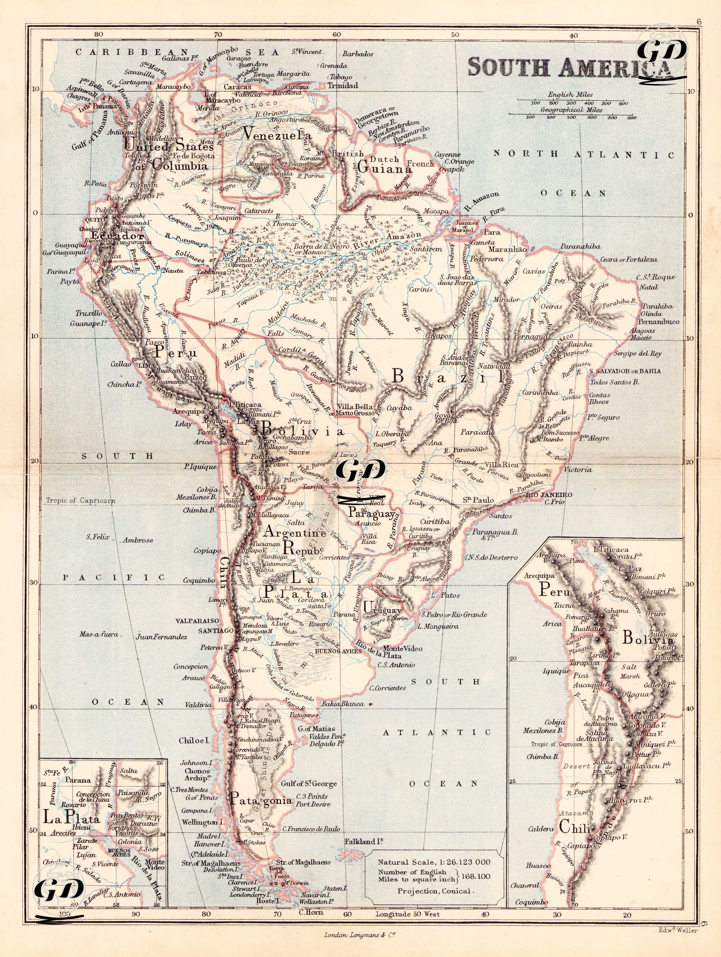
| Engraver | Edward Weller (1819-1884) |
| Date | 1874 |
| Technique | Steel Engraving-Original Hand Colored |
| Category | Maps |
| Source | The Public Schools Atlas of Modern Geography in 31 Maps. Exhibiting Clearly the More Important Physical Features of the Countries Delineated and Noting All the Chief Places of Historical, Commercial, or Social Interest; Rev. George Butler - London: Longmans & Co. |
This map shows the geographical and political structure of South America in the second half of the 19th century at a scale of 1:26,123,000 and with a conical projection. Important geographical elements such as the Andes and the Amazon River are also marked in detail on the map. In addition, Argentina (Argentine Republic) is defined as centered in Buenos Aires and has not yet gained absolute control over all of Patagonia. The name "United States of Colombia" expressed on the map for Colombia was used between 1863 and 1886. The Chile-Bolivia-Peru borders are the borders before the 1879-1884 Pacific War. Chile has not yet occupied the sea coast of Bolivia. The Guiana Region is divided into three colonies: Dutch (Netherlands), French (France) and British Guiana (England).