GRAVÜR DÜNYASI
Digital Engraving Library
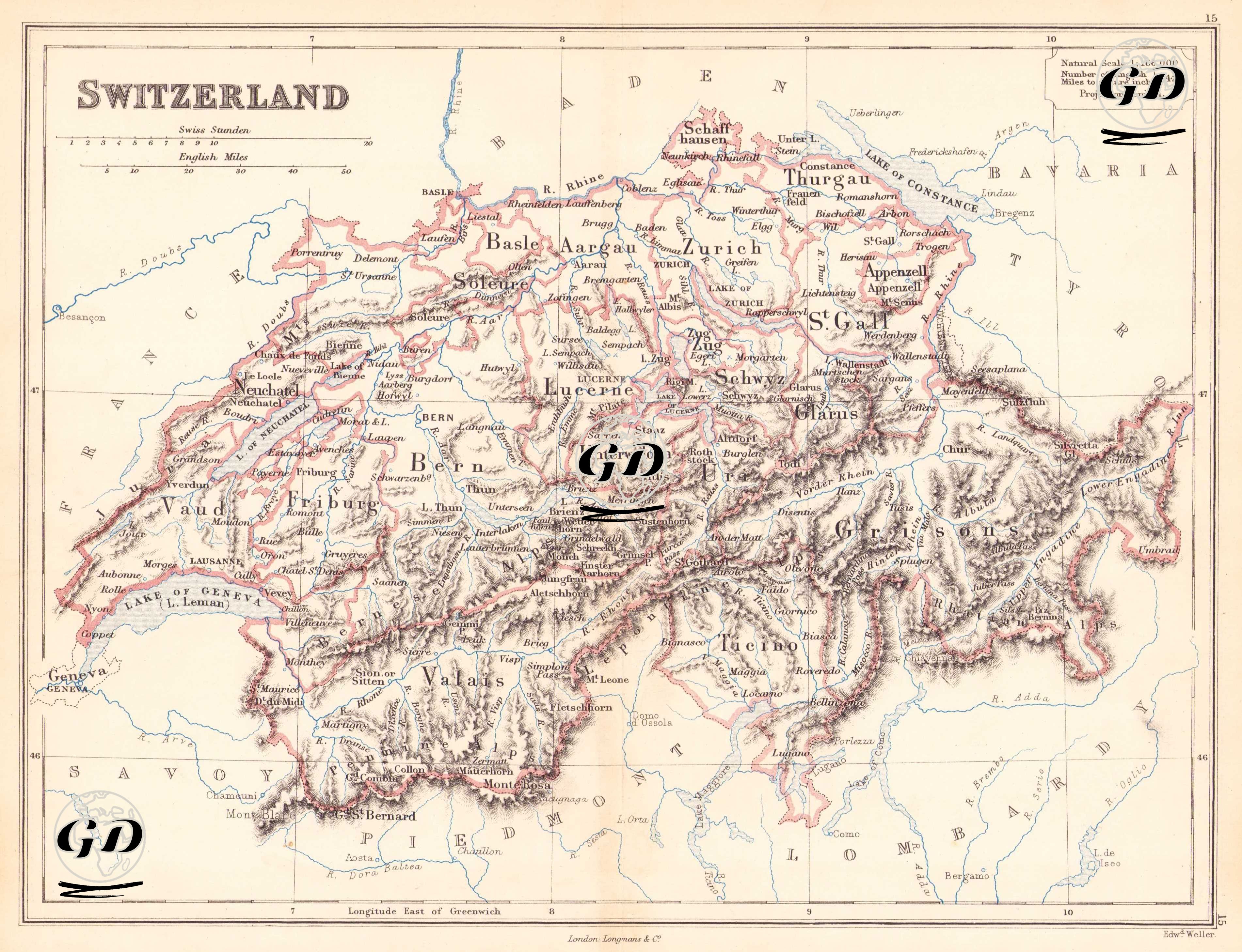
| Engraver | Edward Weller (1819-1884) |
| Date | 1874 |
| Technique | Steel Engraving-Original Hand Colored |
| Category | Maps |
| Source | The Public Schools Atlas of Modern Geography in 31 Maps. Exhibiting Clearly the More Important Physical Features of the Countries Delineated and Noting All the Chief Places of Historical, Commercial, or Social Interest; Rev. George Butler - London: Longmans & Co. |
This map of Switzerland shows cantonal borders and the country's geographical features (such as the Alps, Lake Geneva, Lake Constance) in detail at a scale of 1:1,166,000 and in a conical projection. Major cities such as Zurich, Bern and Geneva are marked on the map; the mountainous structure is indicated by careful shading in the engraving. The map shows the formation of the modern Swiss Confederation and the inter-cantonal structure in the mid-19th century. After the constitution was accepted in 1848, the federal structure was strengthened and the cantonal borders became clear. This map bears the traces of this transition period.