REFERANSLAR
ABOUT US
CONTACT
English
Türkçe
GRAVÜR DÜNYASI
Digital Engraving Library
HOME
PRINTS
MAPS
HOME
›
Maps
›
Europe (Maps)
🇹🇷 Türkçe →
GHA33101K
View Fullscreen
For high resolution images,
please contact us
.
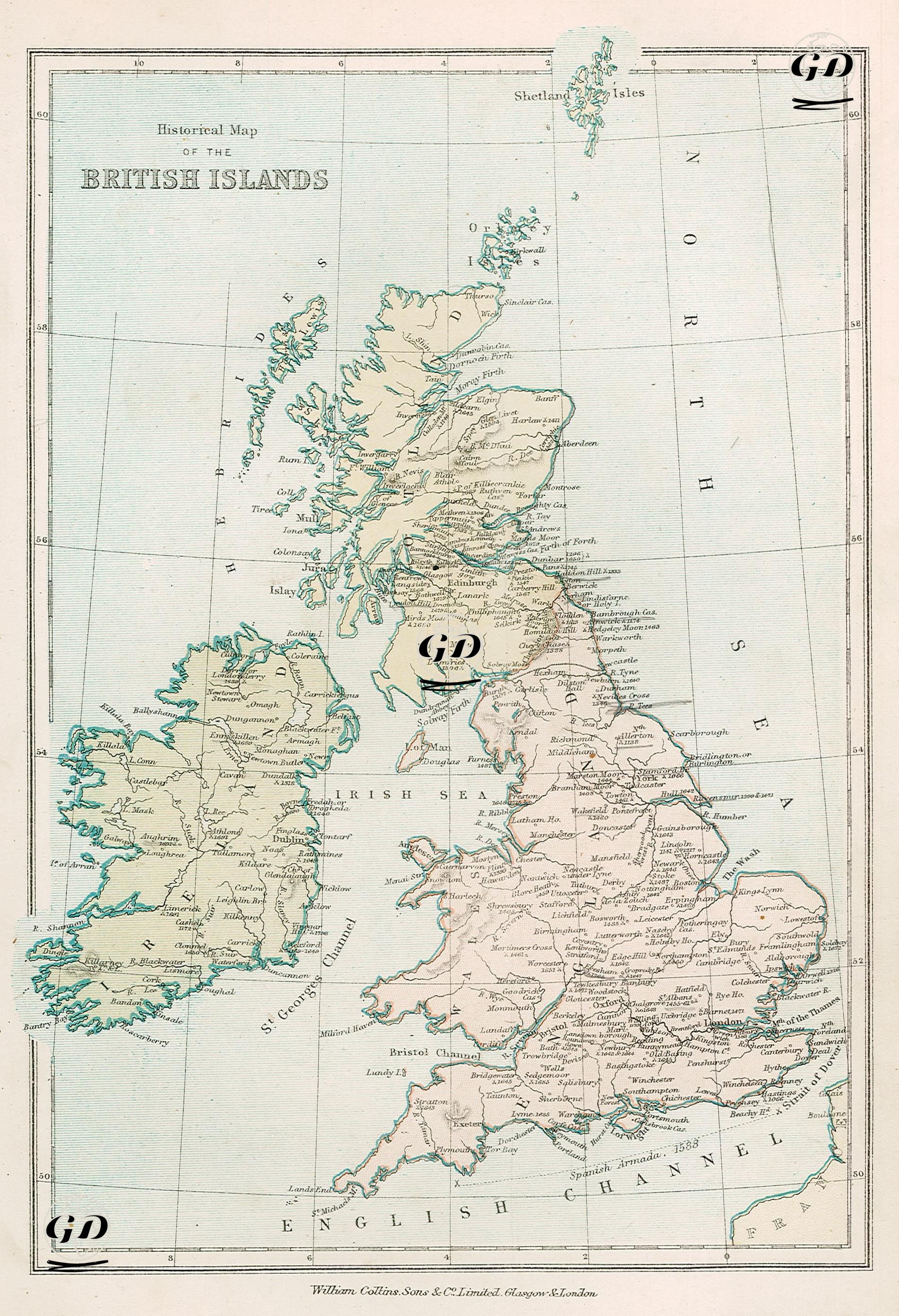
Historical Map of the British Islands
Date
1878
Technique
Lithography-Colored
Category
Maps
Source
The Collegiate Atlas - William Collins Sons & Co. Limited, Glasgow & London
Historical Map of the British Islands
Antique Print
19.Century
1878
Map
Country
Europe
Country
England
Ireland
Scotland
Wales
Shetland Islands