GRAVÜR DÜNYASI
Digital Engraving Library
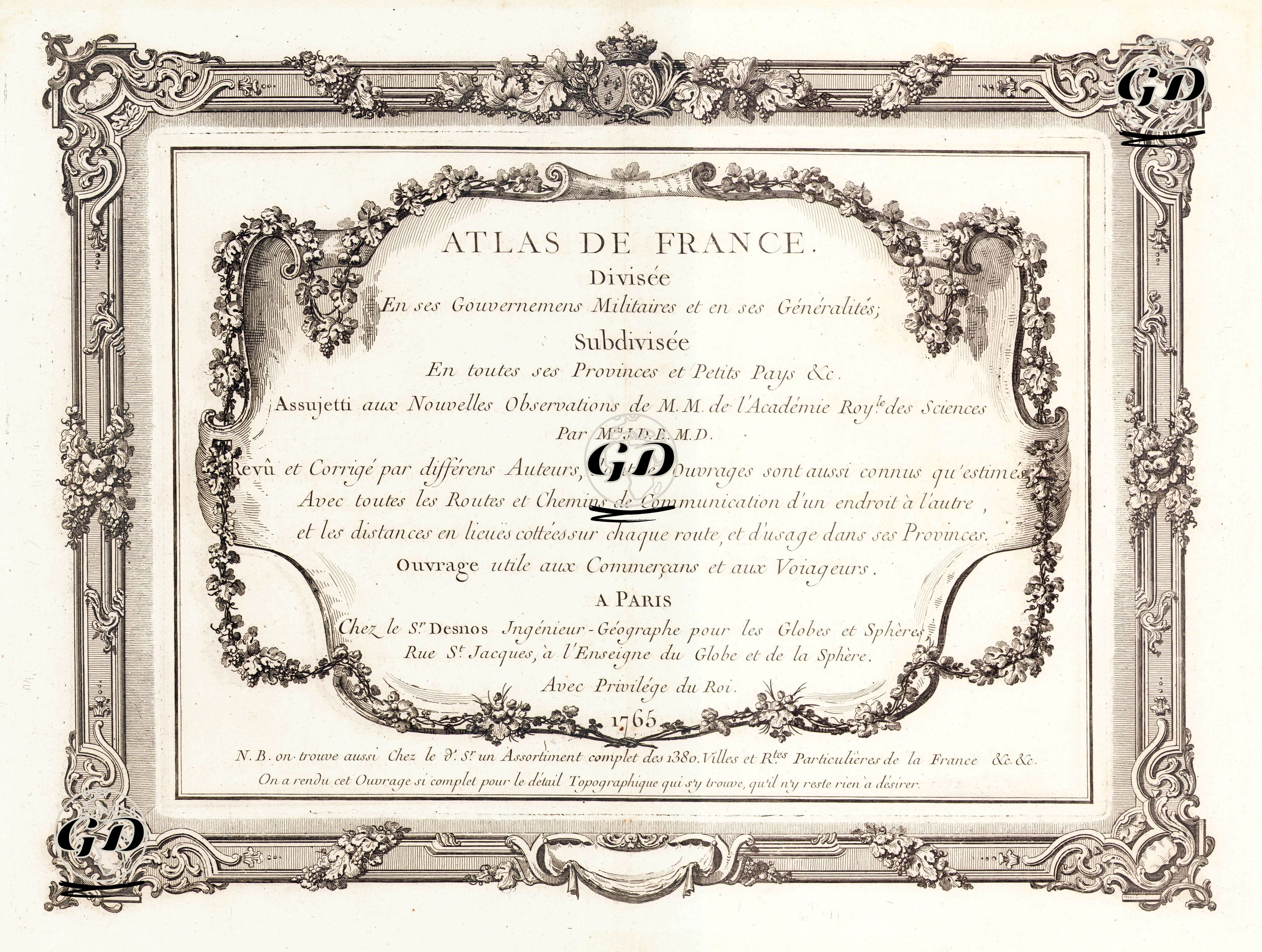
| Date | 1765 |
| Technique | Copper Engraving |
| Category | Maps |
This engraving is from the front page of the "Atlas de France," published in Paris in 1765. The engraving gives the atlas's full title as follows: "Atlas of France, Divided into Military Districts and Viceroyalties; Subdivided into All Provinces and Minor Regions." The map's basis was data compiled by cartographer J.D.B.M.D., based on astronomical observations of the French Royal Academy of Sciences. The atlas was designed as a practical guide for traders and travelers, showing not only military and administrative divisions but also all roads, transportation routes, and distances. The title specifically states that this work is useful for merchants and travelers. Furthermore, a note at the bottom indicates that this atlas is a comprehensive work containing nearly 1,380 city and private road maps. With its detailed frame decorations and rich rococo ornamentation, the engraving is not only informative but also aesthetically pleasing.